Construction Drone Progress
Drones are the perfect companion when it comes to construction surveys, inspections and analyses.
REACH THE UNREACHABLE
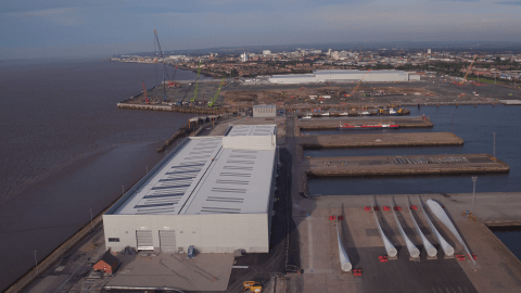
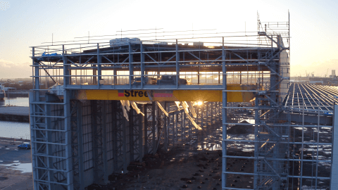
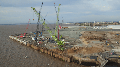
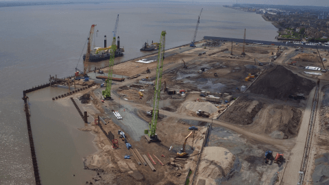
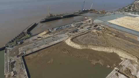
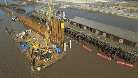
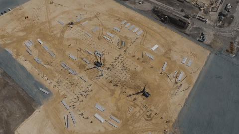
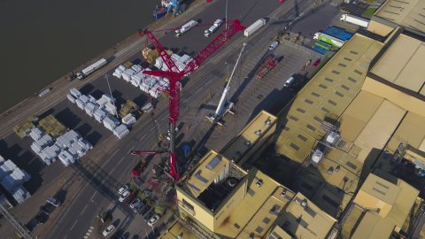
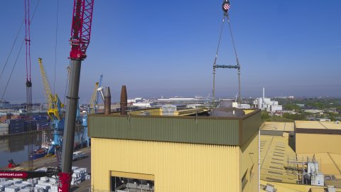
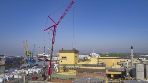
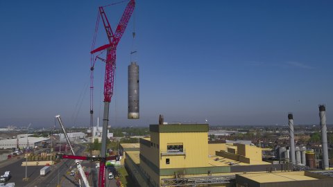
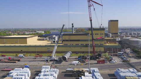
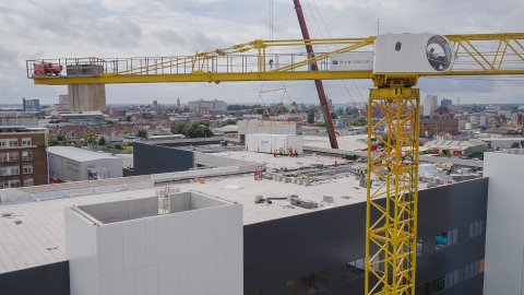
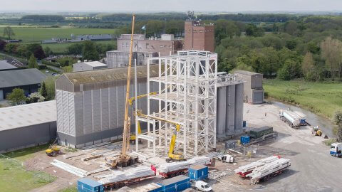
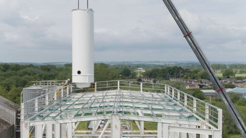
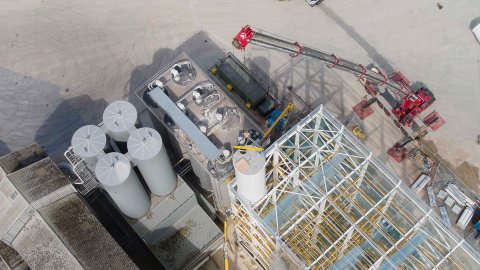
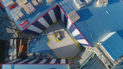
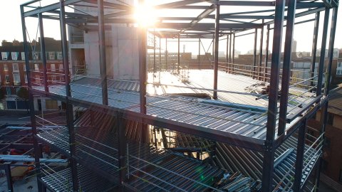
From pre-planning application to official sign-off and beyond, we can capture your development throughout its entire lifespan with our construction drone progress package.
Drone photography and filming have become extremely popular for reducing the human risk involved in surveying mines, excavation sites, quarries and archaeological digs.
We provide recurring site progress imagery, development inspection, precise 3D image mapping, topology, BIM Integration and thermal analysis.
Additionally, we collaborate with leading industry experts to produce the exact data you require for your project.
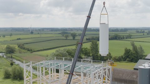
In the meantime, we can beautifully document all stages of your development with sweeping shots of the surrounding landscape, as well as close-ups of the structure.
We are a Constructionline Gold Verified Member.


3D Mapping
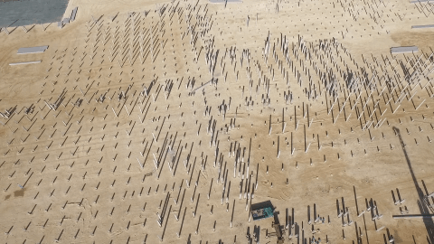
We provide precise 3D mapping and thermal imaging for construction and development sites.

Survey topology
Our drones can be used for topology surveys in construction and development projects.
bim integration
The data and imagery collected from our aerial and ground surveys can be integrated with Building Information Modelling.
High Level drone Inspection
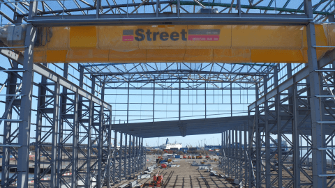
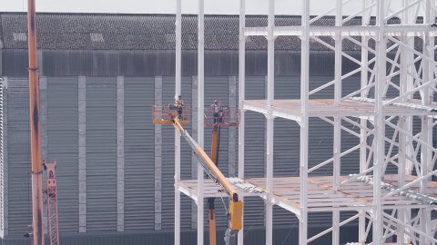
Recommended before risking time, money and personnel on inspecting something at height or in a hard to reach location.
Progress updating
We work on several long term projects with regular monthly and even weekly visits to sites across the UK.

Live Feeds
Stream footage world wide over the internet using various methods. Ensure your project goes to plan from anywhere in the world.
InvestigativeSurveys
Used across many different sectors, our investigative surveys decrease the human risk involved in studies of mines, excavation sites, quarries and archeological digs.
StructuralSurveys
We provide structural surveys for large-scale construction works and environmental developments, as well as for use in agricultural plot assessments and crop analysis.
Who we have worked with


